Harjupolku invites you to hike and cycle
A new nature trail has been completed from Turenki (Janakkala) to Kolmilammi (Hausjärvi). Paths along the esker have been walked for quite some time, but in recent years, a lot of work has been done to highlight the route.
The municipality of Janakkala asked local landowners for permission to map the trail, and Janakkalan Latu ry selected a route to be digitized from several options. The partnership table implemented guide maps at the start (Hakamäki sports field), end (Kolmilammi), and middle (Kiipula, Janakkalan Latu’s cabin) of the trail. The partnership table’s funds also covered the cost of an outhouse at Janakkalan Latu’s cabin. The trail received its final touch when Janakkalan Latu ry celebrated the opening of the nature trail along the esker on June 7th.
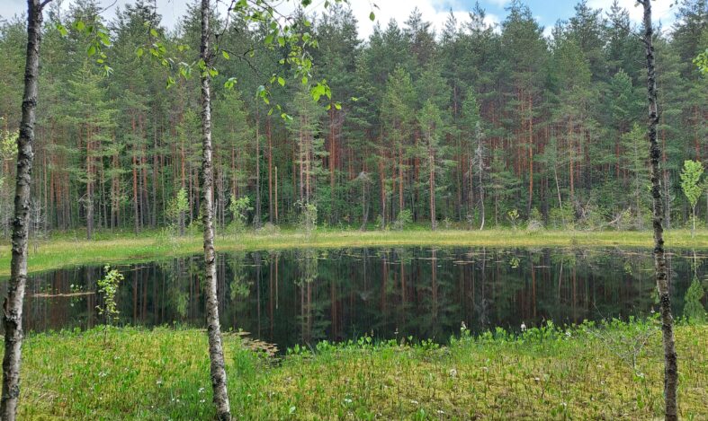
Aside from the nature trail, the route is not marked in the terrain, but it is easy to follow using a paper or digital map. The path is suitable for both hiking and mountain biking, although there are a few challenging sections for cyclists along the way. The approximately 15 km long esker path traverses varied terrain, primarily along dry ridge surfaces, descending at times to swampy kettle ponds. Along the route, there is, among other things, a beautiful open Someronlähde spring. At both ends, in Turenki and Kolmilammi, a sweaty hiker can take a swim, and breaks can be taken, for example, at Kiipula or at the shelter of Janakkalan Latu’s cabin. The accessibility of the route is enhanced by its location near the train stations of Turenki and Ryttylä, allowing hikers to return by train or cyclists to continue their journey elsewhere.
Read more about the esker trail.