Kalpalinna, Inkolinna and Kiianlinna
Starting point options:
Kalpalinna, Kalpalinnantie
Vähähiidentie (around number 80 at the forest road branch)
Sälilammentie
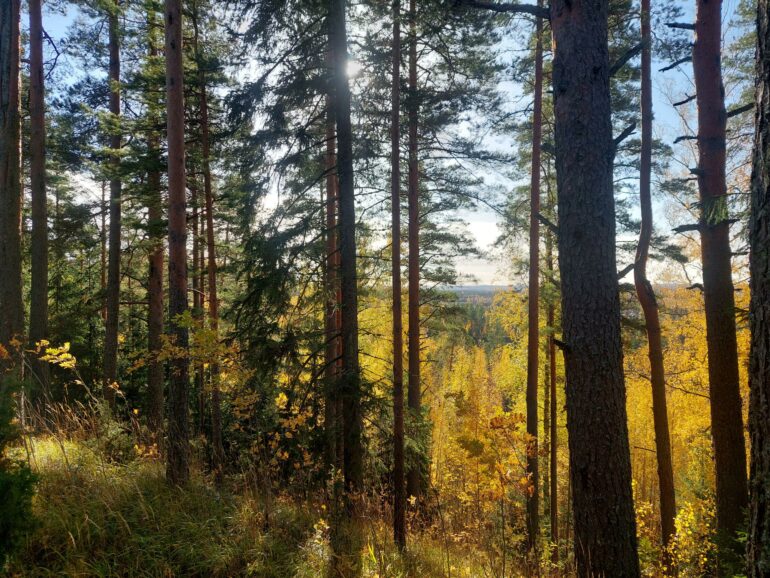
In the terrain of Kalpalinna, known for its skiing and downhill biking center, there are numerous paths and outdoor routes. The terrain is mostly easy to navigate sandy pine forest, but the elevation differences are remarkable. The highest point is Inkolinna, cleared for use by the ski center, which rises 160 meters above sea level and 60 meters above the surrounding landscape. Kiianlinna has been identified as one of the castle hills located in Janakkala. Castle hills were used as refuges and defensive strongholds during troubled times.
Along the ridge paths, one can reach the boardwalks of Raimansuo and from there to Hämeenlinna.
Parking: In the Kalpalinna area, there are parking areas, in other starting point options there is space for individual cars.